


12 km | 26 km-effort


User


FREE GPS app for hiking
 SityTrail
IGN / Geographical institutes
SityTrail World
The world is yours!
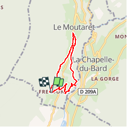
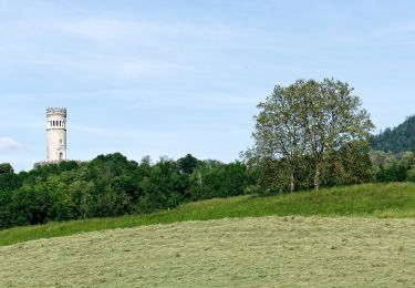
Trail Walking of 5.7 km to be discovered at Auvergne-Rhône-Alpes, Isère, Le Moutaret. This trail is proposed by bzizou.
Balade familiale au départ de Freydon.
Prendre le chemin qui descend jusqu''à la route, prendre la route à droite sur une trentaine de mètres, puis prendre le chemin qui s''enfonce sur la gauche entre une cloture et une cabane (chemin entretenu par des particuliers, le début peut être un peu difficile avec des passages de ronces).


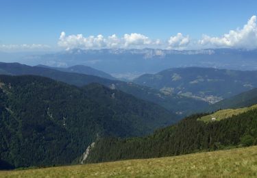
Walking

Mountain bike
Walking
Walking
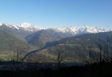
On foot
On foot
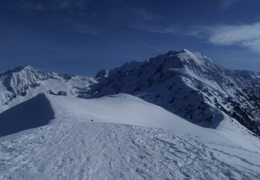
Touring skiing
Walking
Mountain bike